A team of scientists from the National Observatory of Athens (NOA) and New Zealand has systematically mapped the active faults across mainland Greece. This endeavor utilized detailed Digital Elevation Models (DEMs) obtained from the Greek Cadastre.
The researchers identified hundreds of new seismic faults while refining the details of already known ones. This work led to the creation of the AFG (Active Faults Greece), the first database of active faults in Greece, compiled based on the seismic signatures of these faults on the landscape. The findings were published in the reputable journal Scientific Data.
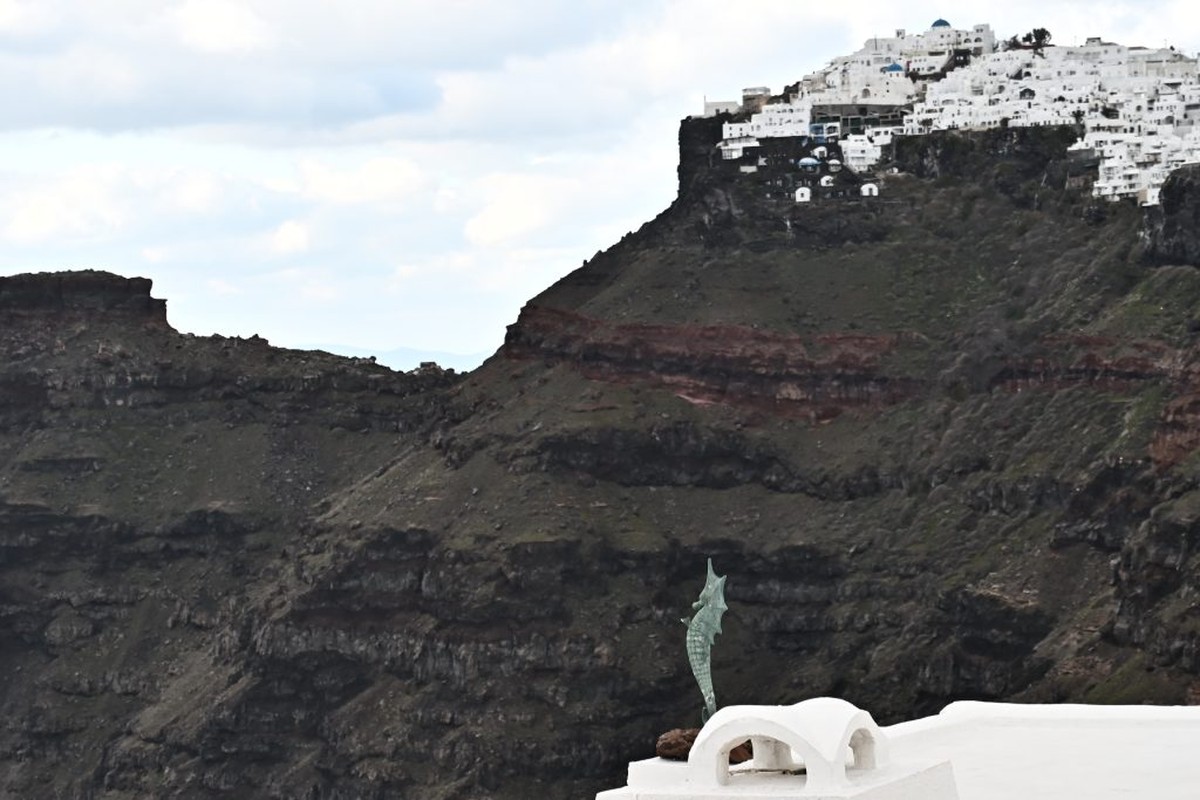
As noted by the international scientific team, which includes Dr. John Begg, Dr. Vasiliki Mouslopoulou, Dr. Dave Heron, and Prof. Andy Nicol, the dramatic contrasts of the Greek landscape are underpinned by a persistent geological machine: “The country, wedged between two continents, is distorted by the ongoing movement of Africa to the north and Eurasia to the south. Today, the terrain of Greece continues to change, primarily through the action of active seismic faults. Many of these faults, however, remain well hidden beneath vegetation, within expanding urban landscapes, or within the complexity of the terrain itself,” the researchers emphasize.
They add, “As Greece’s economy increasingly relies on tourism and aims to become an energy hub in the Eastern Mediterranean, it urgently needs to better understand the distribution of seismic sources throughout the country. This requires detailed mapping of active faults across both land and submerged areas of Greece.”
The AFG provides the scientific community with the first nationwide map of active faults based on morphological features at a consistent scale of 1:25,000.
The AFG records 3,815 traces of faults, grouped into 892 individual faults, with more than half being mapped for the first time. It also includes 35 surface ruptures connected to historical earthquakes.
Each fault is classified according to the study as follows:
- Active: When the terrain appears to have been recently deformed.
- Possibly Active: When the fault can be discerned in the landscape, but data regarding its activity are less clear.
- Uncertain: When further observations are needed to confirm the existence of the fault.
The scientific team highlights that a further classification includes the intensity of the fault’s visible impact on the terrain: “Traces that resemble ‚knife cuts‘ indicate recent activity (possibly within the Holocene, the last 10,000 years), while more rounded imprints denote progressively older earthquakes,” they explain.
In total, more than 2,000 fault traces in the AFG are classified as active, with approximately 1,600 marked as possibly active. The analysis also revealed that over half of the active faults in Greece influence river flows, sediment deposition, and the delineation of mountain-valley boundaries. These relationships indicate that some active faults remain, inevitably, invisible, “buried” beneath newer sediments.
“In recent years, technology has radically changed the way we ‚see‘ the Earth,” notes the international scientific team.
Examining the methodology they employed, they emphasize that digital elevation models (DEMs) allow scientists to “read” the terrain and its movements with an accuracy that was previously unattainable.
Specifically, they explain that a DEM is not merely a map; it is a three-dimensional representation of the Earth’s surface. Each point in the model possesses a height, enabling scientists to visualize the terrain’s complexity in exceptional detail and identify structures that are invisible to the naked eye.
For geomorphologists, as they highlight, the Earth’s surface is akin to a book that narrates the movements of tectonic plates and the vibrations of time. They add that “in digital models, scientists study the landscape as it is revealed, stripped of cities or vegetation, seeking systematic signs of active faults.”
However, mapping active faults extends beyond scientific interests, as stated by Dr. Vasiliki Mouslopoulou, the main researcher at the Geodynamic Institute of the National Observatory of Athens and a member of the scientific team. “It has practical implications for the safety and resilience of the country’s infrastructure. Roads, bridges, dams, and energy units must be designed with knowledge of the distribution of active seismic sources that can disturb the ground. The information provided by the AFG, when merged with instrumental recordings of earthquakes and ground deformations, can enhance Greek models of seismic risk.”
For his part, Dr. John Begg, a key contributor to the AFG, mentions that “technology alone is not enough.”
“The interpretation of DEMs requires the experienced eye of a geologist, one that can distinguish a tectonic front from an erosion surface. The digital indicators are validated when contrasted against a series of fault activity criteria, with on-site observations and comparison to existing studies. The strength of the AFG lies in its combination of technological tools with decades of geological knowledge,” he underscores.
The researchers indicate that such an approach is particularly revealing for a country with a dramatic landscape like Greece. “Careful observation, combined with the observer’s experience, can separate traces caused by earthquakes from those shaped by natural erosion or human activity. Producing images with special lighting (hillshades) and slope representation (slopemaps) show that the inversion of a valley, the diversion of a river, or the triangular face of a mountain constitutes infallible ‚geomorphological imprints‘ of past earthquakes along active faults,” they report.
The AFG database is freely accessible to all. Additionally, through an interactive map of Greece, any engineer, researcher, or citizen can identify where the active faults are located around them and what their main characteristics are. The AFG – Active Faults Greece aims to contribute to national efforts in cataloging active seismic sources in Greece and hopes to serve as a model for other seismically active countries to utilize digital landscapes for identifying active faults.
Source APE
Follow us on Facebook
Join us on Twitter
Subscribe to our channel on Youtube
Become a member of our channel on Viber
– Reference made to the source ertnews.gr where indicated.
– At the end of the article as Source